
Yearling Trail
Santa Monica Mountains
Distance: 3.8 miles
Duration: 2 hours
Elevation Gain: 500 feet
Difficulty: 2 (highest 5)
Season: All Year Round
Recommended rating: 4 (out of 5)

Outline
- Introduction
- The Yearling Trail
- Getting to the Yearling Trail
- The Trailhead
- Exploring the Trail
- FAQ
- Official Links
Introduction
Malibu Creek State Park is a picturesque location that offers visitors a variety of outdoor activities, including hiking, mountain biking, and horseback riding. The park has many trails, each with unique features and attractions. The Yearling Trail is one of the most popular trails in the park, offering stunning views of the surrounding landscape and an opportunity to explore the local flora and fauna. This guide will examine the Yearling Trail, its features, and how to get there.
The Yearling Trail
The Yearling Trail is a 5.2-mile round-trip trail rated moderate in difficulty. It is located in the northwestern part of Malibu Creek State Park. It allows hikers to explore the local flora and fauna while enjoying stunning views of the surrounding mountains. The trail begins at the Mulholland Highway and Canal Road junction, where visitors can park their cars in the nearby parking lot.
Getting to the Yearling Trail
To get to the Yearling Trail, visitors should head north on the 101 Freeway from LA, get off at Las Vergenes Road, turn left, and continue for about three miles until they reach the Mulholland Highway. From there, turn right and continue for approximately 4.5 miles until reaching Cornell Road. Turn left onto Cornell Road and drive to the parking lot.
The Trailhead
The Yearling Trail begins at the Mulholland Highway and Canal Road junction. After parking the car, visitors should take the paved road from the parking lot and pass Reagan Ranch, owned by former President Ronald Reagan until 1966 and is now used as a park. After passing the ranch, visitors will see a sign for the Yearling Trail, neatly lined up through the knee-high grass.
Exploring the Trail
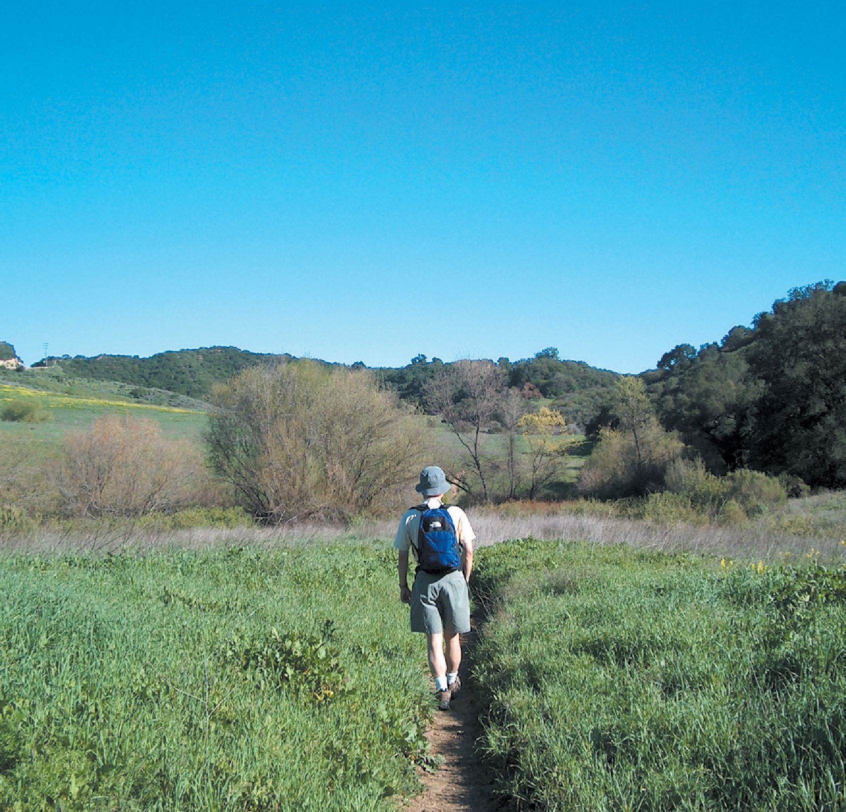
As soon as visitors enter the Yearling Trail, the road splits into two. The Yearling Trail on the left passes through a meadow, while the Deer Leg Trail on the right passes through a dense oak forest. The wide-open field along Mulholland Highway on the left is covered with blue mustard leaves and wildflowers such as lupines, pansies, and California puffies.
After hiking for about a mile, visitors will come to a junction where the road splits into Lookout Trail and Cage Creek. Hikers should take the Lookout Trail, which at first seems like they are going up a bare mountain, but soon they enter a dark, dense forest. On the way up, visitors can see sharp mountain peaks lined up on the other side.
Visitors should go straight down when they meet the four roads on the mountain ridge. To the right is a dead end, and to the left, the trail joins Mulholland Highway. Continuing down, visitors will get a panoramic view of Malibu Creek State Park with the spectacular Century Lake nestled beneath its peaks.
When hikers come down the mountain road, they will meet the unpaved Creg Road. After about 0.3 miles from here, Cage Creek Trail appears on the right. If hikers follow this road up the ridge, they return to the starting point.
FAQ
- Are dogs allowed on the Yearling Trail? Yes, dogs are allowed on the Yearling Trail but must be kept on a leash.
- Is the Yearling Trail suitable for children? Yes, the Yearling Trail is an easy hike suitable for children.
- How long does it take to hike the Yearling Trail? The Yearling Trail is approximately a 3.5-mile loop that takes about 1.5 to 2 hours to complete.
- Is there an admission fee for hiking the Yearling Trail? No, there is no admission fee for hiking the Yearling Trail.
Official Links
If you’re interested in learning more about the Yearling Trail and the surrounding area, be sure to check out these official links:
- Malibu Creek State Park: https://www.parks.ca.gov/?page_id=614
- Reagan Ranch: https://www.nps.gov/nr/tr


