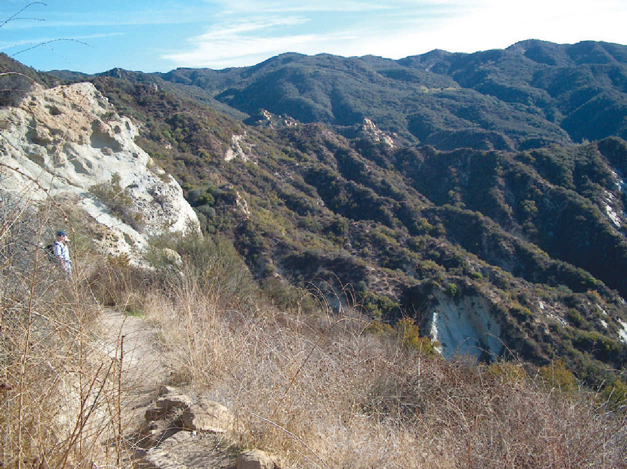
Santa Ynez Canyon
Santa Monica Mountains
Distance: 5.4 miles
Duration: 3 hours
Elevation Gain: 600 feet
Difficulty: 2 (highest 5)
Season: all year round
Recommended rating: 4 (out of 5)
Outline:
- Introduction
- The Ridge Trail
- Santa Ynez Valley
- Santa Ynez Falls
- Safety Precautions
- How To Get There
- Conclusion
- FAQs
- Links
Introduction
Located in California, Topanga Canyon State Park is a stunning destination for hiking enthusiasts. The park features sprawling oak forests, picturesque valleys, and the awe-inspiring Santa Ynez Falls. In this article, we will guide you through the park’s various trails, including the Ridge Trail, Santa Ynez Valley, and Santa Ynez Falls. Additionally, we will discuss essential safety precautions you must take before embarking on your hiking adventure.
The Ridge Trail
As you enter the park and pass the Nature Center, you will come across the Ridge Trail. The trail takes you through a dense oak forest that creates an elegant ambiance. You can enjoy the shade and serenity of the environment as you hike along the route.
Santa Ynez Valley
As you continue hiking from the Ridge Trail, you will reach Santa Ynez Valley. This part of the park is dense enough to block sunlight, and you can hear the rustling of various wild animals. On your way to the valley, you can enjoy the view of Palisade Hill and boats floating like toys on the ocean.
Santa Ynez Falls
As you hike along the waterway to the left, you will find a signpost leading to Santa Ynez Falls. It takes about 20 minutes to arrive at the falls, and you must grab a rope and climb up in some parts. The waterfall can only be enjoyed after sufficient winter rain, and the view from the bottom is breathtaking. However, it is essential to note that the rocks around the waterfall are slippery, so it is essential to be careful and wear hiking boots.
Safety Precautions: Poison Oak Warning
Poison Oak grows thickly around the trail, so it is crucial not to touch your skin. Wearing long pants is a better option to avoid contact with the poisonous plant.
How To Get There
To reach Topanga Canyon State Park, take Fwy 10 – Pacific Coast Highway (PCH) and turn right on Topanga Canyon Blvd and right on Entrada Road into the park. The park is marked on the map as Trippet Ranch, and you will need to pay the entrance fee at the entrance and purchase a map.
Conclusion
Topanga Canyon State Park is a perfect destination for hiking enthusiasts looking for a serene escape from the city. With its vast oak forests, Santa Ynez Valley, and Santa Ynez Falls, the park offers an immersive experience for visitors. However, it is crucial to take necessary safety precautions to ensure a safe and enjoyable hiking experience.
FAQs
- Is Topanga Canyon State Park suitable for all ages and fitness levels? A: While the park offers trails of varying difficulty levels, some may not be suitable for children or those with physical limitations. It’s best to consult the park map and ask park rangers for advice before hiking.
- Are dogs allowed in Topanga Canyon State Park? A: Yes, dogs are allowed in the park, but they must always be on a leash.
- What is the best time of year to visit Topanga Canyon State Park? A: The park can be visited year-round, but the best time to visit is spring when wildflowers are in bloom, and the weather is mild.
- Are there any facilities at Topanga Canyon State Park? A: Yes, the park has restrooms, drinking fountains, and picnic tables for visitors.
- Are there any safety tips to remember when hiking in Topanga Canyon State Park? A: Visitors should stay on designated trails, wear proper hiking shoes, bring enough water, and be aware of their surroundings to avoid getting lost or injured.
Links & Resources
- Santa Ynez Canyon Park – This website provides information about Santa Ynez Canyon Park, including its location, amenities, and trail map. It is a helpful resource for planning a visit to the park.
- LA Parks – Topanga State Park – This website provides information about Topanga State Park, including its location, amenities, and park hours. It is also a valuable resource for planning a visit to the park.
- AllTrails – Santa Ynez Canyon Waterfall Trail – This website provides a detailed trail map, photos, and user reviews for the Santa Ynez Canyon Waterfall Trail. It is a helpful resource for planning a hiking trip to the waterfall.


